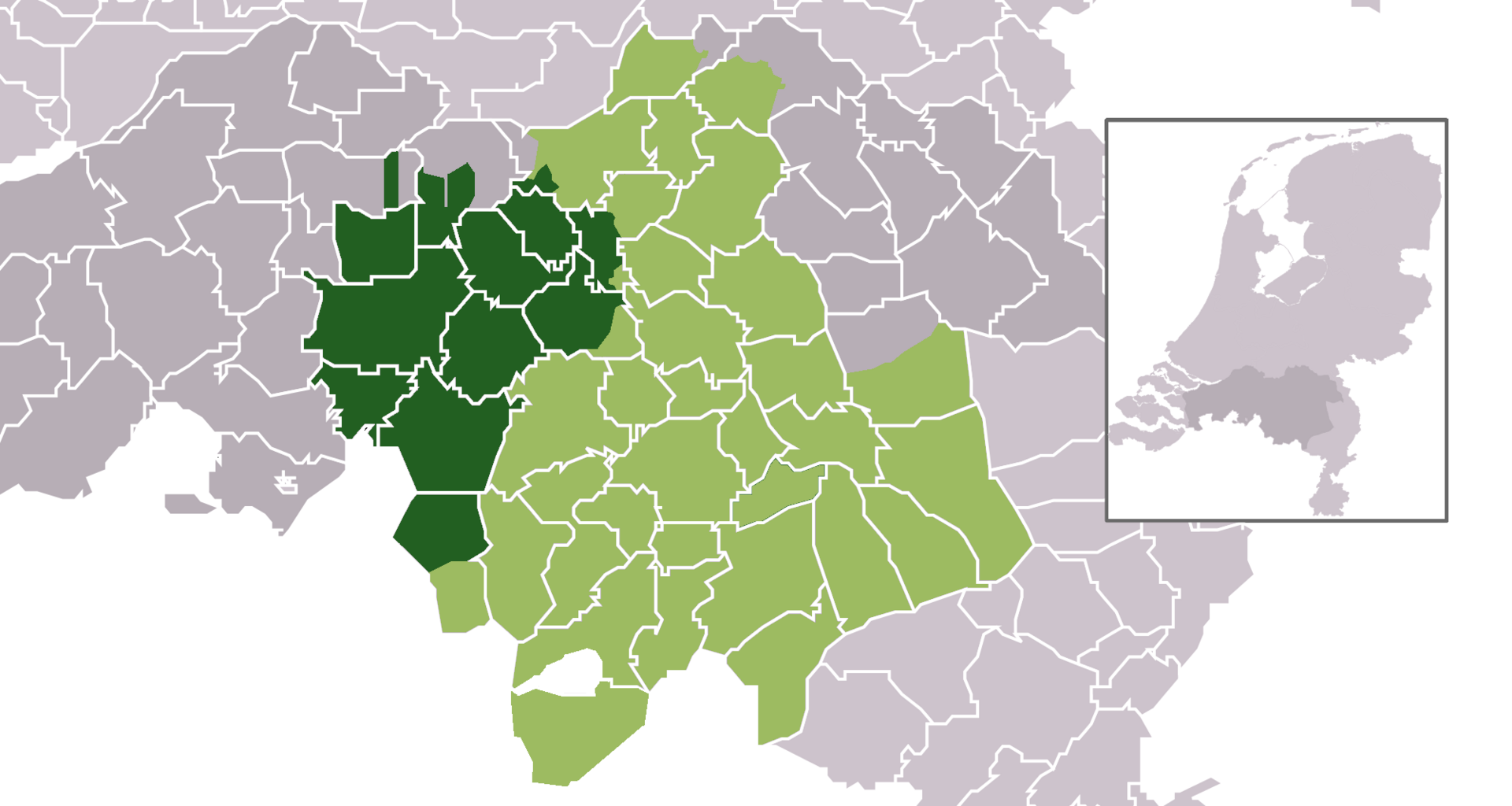
Bestand:Map - NL - Municipality Meierij Oisterwijk Historical.png
Uit Wiki Raamsdonk
Grootte van deze voorvertoning: 800 × 427 pixels. Andere resolutie: 1.920 × 1.024 pixels.
Oorspronkelijk bestand (1.920 × 1.024 pixels, bestandsgrootte: 401 kB, MIME-type: image/png)
Beschrijving
Importing file
Bestandsgeschiedenis
Klik op een datum/tijd om het bestand te zien zoals het destijds was.
| Datum/tijd | Miniatuur | Afmetingen | Gebruiker | Opmerking | |
|---|---|---|---|---|---|
| huidige versie | 27 jun 2025 15:07 | | 1.920 × 1.024 (401 kB) | Maintenance script (overleg | bijdragen) | == Beschrijving == Importing file |
U kunt dit bestand niet overschrijven.
Bestandsgebruik
Dit bestand wordt op de volgende pagina gebruikt:
